May 24, 2025 | 02:29 GMT +7
Hotline: 0913.378.918
![]()
May 24, 2025 | 02:29 GMT +7
Hotline: 0913.378.918
![]()

Satellite imagery of an area in Mexico.
Many of the new satellites currently in Earth’s orbit are equipped to provide revolutionary tools and data to improve global food security and strengthen agrifood systems. A new report from the Food and Agriculture Organization of the United Nations (FAO) and the United Nations Office for Outer Space Affairs (UNOOSA) aims to inform and guide an array of experts and policy makers on the various intersections of space technology and farming, forestry and land-use management as well as climate and environmental trends.
“Space technology has emerged as a game changer. Satellite imagery, global navigation satellite systems data and their integrated applications are now critical tools for agriculture, enabling stakeholders, ranging from local farmers to international policymakers, to monitor crop health, manage water resources, detect and control pests, and plan for weather uncertainties, among various other applications,” according to Lifeng LI, Director of FAO’s Land and Water Division, and UNOOSA Director Aarti Holla-Maini in their introduction to “Leverage Space Technology for Agricultural Development and Food Security.”
The use of geospatial technologies is far from new, having begun in 1957. Since then, more than 17,000 satellites have been launched, with the rate now reaching nearly 3,000 each year. But its potential has been magnified by the increasing precision and diverse capacities of satellites, as well as a host of cloud-based applications that make granular Earth data increasingly accessible all the way to smartphones.
There is a growing need to bridge the gap between space and agriculture – from technical interoperability and data harmonization to capacity development initiatives –, and the need for international collaboration to ensure small-scale farmers and developing countries can access and benefit from satellite data.
This new report recommends strengthening global capacities in the use of satellite data for agriculture, increasing international coordination on agriculture-focused satellite missions, and improving accessibility and interoperability between space data and services. It promotes the establishment of a centralized UN imagery procurement hub for satellite outputs to reduce duplication and enhance synergies.
It also emphasizes that increased collaboration and integration will not only lead to greater concrete benefits for all, but also contribute to mitigating a looming risk of the rapidly expanding space activities – space debris, which can threaten the operational safety of satellites and hinder future missions.
FAO’s track record
FAO’s prize-winning Hand-in-Hand Geospatial Platform has been leveraging the power of satellite-derived analytics and data, integrating more than two million layers of open-access geospatial and agricultural statistics data from global providers.In addition,
FAO’s forest cover monitoring tool SEPAL has been providing anyone with a mobile device an increasingly precise way to detect landscape changes in practically real time, with the help of the easy-to-use Google Earth Engine platform and the precious inputs of the satellite services of numerous FAO Member countries.
Another cutting-edge FAO tool is WaPOR , which taps satellite data to track actual water consumption in cropping fields with a high level of precision, enabling farmers and policy makers to optimize resource utilization.
FAO’s ability to bring space technology directly to farmers – through tools like SEPAL and WaPOR – is a unique offering. Geospatial technologies are also contributing to local and international emergency response efforts, pest control, soil fertility management, water stress assessments, crop calendars, efficient fertilizer and pesticide use, and a growing set of precision agriculture techniques.
The report
Multistakeholder partnerships are and will be needed to harness the full potential of space technology for agriculture, the report emphasizes.
It showcases FAO’s Agro-Informatics activities and how a rapid crop-mapping effort in Togo during the COVID-19 pandemic – led by the Government, NASA Harvest, Planet Labs and the University of Maryland – allowed public authorities to respond quickly with interventions relieving immediate strains on the country’s agrifood systems.
The report, broken out to cover the upstream, midstream and downstream sections of the space-agriculture value chain, emphasizes that making sure developing countries have access to the appropriate spatial infrastructure, establishing standards for methods, data, information and procedures, and avoiding temporal and spatial coverage gaps in remote-sensing data, are all key to optimizing global agrifood systems strategies.
One of UNOOSA’s central agendas is to help UN Member states establish legal and regulatory frameworks for their space activities, while FAO is actively working with the International Organization for Standardization (ISO) to develop a functional meta-language for land cover and land use matters.
Effective exercises in data harmonization, integration and interoperability are all imperative to make the most of the innovative opportunities that geospatial technologies offer. They also are the enabling condition for disseminating the benefits through cloud computing platforms, such as SEPAL, as well as for enabling farmers to upload field-verified observations, which allow for more holistic and effective policies and projects.
(FAO)
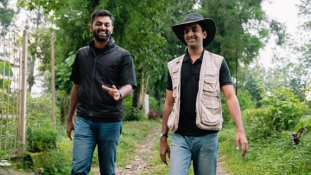
(VAN) Alt Carbon has raised $12 million in a seed round as it plans to scale its carbon dioxide removal work in the South Asian nation.

(VAN) Attempts to bring down the price of the Japanese staple have had little effect amid a cost-of-living crisis.

(VAN) Fourth most important food crop in peril as Latin America and Caribbean suffer from slow-onset climate disaster.

(VAN) Shifting market dynamics and the noise around new legislation has propelled Trouw Nutrition’s research around early life nutrition in poultry. Today, it continues to be a key area of research.
(VAN) India is concerned about its food security and the livelihoods of its farmers if more US food imports are allowed.

(VAN) FAO's Director-General emphasises the need to work together to transform agrifood systems.
(VAN) Europe is facing its worst outbreak of foot-and-mouth since the start of the century.
