May 30, 2025 | 00:12 GMT +7
Hotline: 0913.378.918
![]()
May 30, 2025 | 00:12 GMT +7
Hotline: 0913.378.918
![]()
Located in the Southeast region, Tay Ninh Province is less susceptible to the effects of storms and other adverse weather conditions. However, with a relatively extensive network of canals, the region faces localized flooding among other types of natural disasters, such as tornadoes.

An automated monitoring system at the Meteorological and Hydrological Station in Tay Ninh Province. Photo: Tran Phi.
According to meteorological and hydrological records, Vietnam experienced 10 storms in the first 11 months of 2024. Despite avoiding the severe impacts of Storm No. 3 (Yagi), Tay Ninh experienced 18 heavy rainstorms and localized tornadoes, which caused extensive damage across six districts and two towns. Reported losses included 78 damaged or flooded houses, 143 hectares of affected crops, and other damages.
Recognizing the critical importance of meteorological and hydrological (M&H) data in forecasting, disaster prevention, and promoting climate resilience, the Meteorological and Hydrological Station in Tay Ninh Province has gradually upgraded its network of automated weather monitoring systems. The goal is to transition from manual measurements to Industry 4.0 technologies, thereby facilitating early warnings and enabling local authorities and residents to proactively prevent and mitigate disaster impacts.
A visit to the Meteorological and Hydrological Station in Tay Ninh Province highlights the adoption of new technological solutions, including artificial intelligence (AI). Accordingly, this technology has enhanced operational efficiency and forecasting and warning capabilities. Furthermore, it provides significant support to disaster prevention efforts across districts and towns in the province.

An officer at the Meteorological and Hydrological Station in Tay Ninh Province operating a monitoring equipment. Photo: Tran Trung.
Thanks to automated tools for data collection and analysis, such as Himawari satellite cloud images, weather radar, a data assimilation system for the high-resolution WRF weather forecasting model, and tools for weather map analysis and digitization, the Meteorological and Hydrological Station in Tay Ninh Province has achieved increasingly accurate forecasts. These tools are useful for monitoring and predicting hazardous weather phenomena that occur over short periods, such as heavy rains or urban flooding.
"One of the most important applications of science and technology in disaster prevention is the forecasting and warning of natural disasters. Accurate predictions of timing, intensity, and development of disasters enable local authorities to respond promptly and effectively, thereby minimizing losses," said Nguyen Huy Kha, a forecaster at the Meteorological and Hydrological Station in Tay Ninh Province.

The Meteorological and Hydrological Station in Tay Ninh Province utilizes various new technological solutions, including artificial intelligence. Photo: Tran Phi.
Le Xuan Hoa, Deputy Director of the Meteorological and Hydrological Station in Tay Ninh Province, explained that due to the varying data structures of different rain gauge stations, data standardization under a unified format is critical. After all information from the automated stations is collected, a comprehensive database is built.
"After completing the database, we will develop a website to display, extract and manage the collected rainfall data. The website will integrate a three-layer map, including a base layer with coordinate information, a layer showing the locations of rain gauge stations, and a layer for rainfall observation data. This will make data analysis and extraction much more convenient," Hoa shared.
Deputy Director Hoa also noted that the system has produced promising results during the trial period. With its full functionality, the system can capture and process high-quality images even in low-light conditions or adverse weather such as rain.
"In the digital era, utilizing technological platforms to enhance disaster prevention readiness has been a priority for the meteorological and hydrological sector. Despite existing challenges, this approach is essential and must be further promoted," Deputy Director Hoa emphasized.
Similarly, Thanh Hoa province, located in Vietnam's North Central region, is home to four main river systems: Hoat, Ma, Bang, and Yen rivers, with a total length of 881 kilometers. The river basins cover an area of over 39,000 square kilometers, with an average annual water volume of 19.52 billion cubic meters.
Additionally, Thanh Hoa has an extensive reservoir system with 610 reservoirs, ranking second nationwide after Nghe An province. This includes one critical reservoir of national security significance, Cua Dat, as well as hydropower reservoirs within the Ma River basin. Consequently, monitoring water levels in rivers and reservoirs plays a vital role in disaster prevention efforts in the province.
To proactively manage operations, issue flood warnings, and implement disaster response plans, Thanh Hoa Province's Sub-Department of Water Resources has installed a camera system to monitor water levels at nine key locations. These cameras track river water levels and the status of dike systems.
The camera system, integrated with computers and supporting applications, enhances the proactive flood warning capabilities of the provincial flood and storm prevention agency, enabling more effective disaster prevention and response planning.
Translated by Nguyen Hai Long
/2025/05/25/4127-3-073637_820.jpg)
(VAN) Thanks to the promotion from an FAO-implemented project, vegetable production in greenhouses in Moc Chau has seen strong development, from 1.5 hectares in 2021 to nearly 50 hectares in 2024.
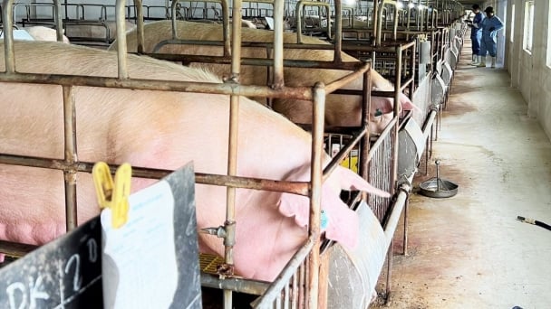
(VAN) FAO has recently supported USD 140,000 to implement the project 'Risk mitigation human-animal interface risks through disease control initiatives in pig farming.'
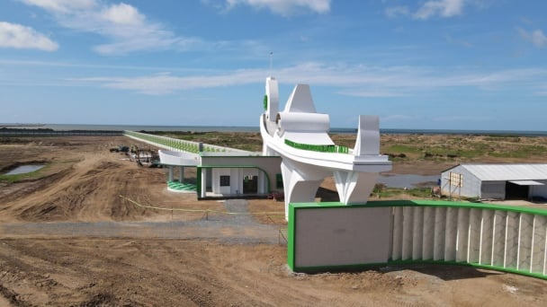
(VAN) The People's Committee of Tra Vinh province has approved an adjustment to the investment policy for the Green Hydrogen Plant project, increasing its area to approximately 52.76 hectares.
![Reducing emissions from rice fields: [2] Farmers’ commitment to the soil](https://t.ex-cdn.com/nongnghiepmoitruong.vn/608w/files/news/2025/05/05/dsc08881jpg-nongnghiep-140632.jpg)
(VAN) Clean rice cultivation model in Thuong Tan commune, Bac Tan Uyen district, is assisting local residents in achieving sustainable agriculture by substantially reducing costs, increasing productivity, and protecting the environment.

(VAN) At the conference to disseminate Resolution No. 68, AgriS introduced its digital agricultural ecosystem and reaffirmed its commitment to accompanying the Government in promoting private sector development and sustainable agriculture.
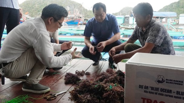
(VAN) 'Blue Ocean - Blue Foods' initiative is designed to restore marine ecosystems and establish sustainable livelihoods for local communities by cultivating a minimum of 1,000 hectares of cottonii seaweed in the first three years.
/2025/05/21/4642-3-112707_603.jpg)
(VAN) The V-SCOPE project has made direct contributions to three out of six pillars of the Comprehensive Strategic Partnership between Vietnam and Australia.
