September 8, 2024 | 04:15 GMT +7
Hotline: 0913.378.918


September 8, 2024 | 04:15 GMT +7
Hotline: 0913.378.918
Forest land accounts for over 67% of Yen Bai province's total natural land area. At present, the province boasts over 462,000 hectares of forest and immature forest land, with 217,000 hectares of natural forests and 245,000 hectares of planted forests. The province's forest coverage currently stands at 63%.
The Yen Bai province's Sub-Department of Forest Protection has actively promoted the application of information technology and digital transformation in forest management, protection, and development. Notably, the local forestry sector has utilized specialized FRMS applications to manage forests and forestry land areas. These forest and forestry land monitoring softwares, available on mobile Android devices, feature measurement and field inspection support for forestry.
Local authorities use Geographic Information System (GIS), Vtools for MapInfo, and GPS devices to monitor forest developments. Additionally, the "Forest Fire Monitoring and Early Warning" software is crucial in forest fire prevention and control efforts. The local forest protection forces also utilize the software systems established by the Department of Forest Protection and the Department of Forestry.
Furthermore, Yen Bai province's Sub-Department of Forest Protection has promoted investments in various digital technology applications and modern equipment such as laptops, mobile phones, and tablets with the aim of supporting the specialized needs of forest management and protection activities.

Forest management software allows forest protection officers to promptly detect deforestation areas in order to identify causes, prevent, and respond in compliance with regulations. Photo: Quang Dung.
The use of digital devices and applications has enabled local forest management and protection forces to promptly detect and issue warnings on irregular developments, thereby rapidly and accurately updating forest and forestry land changes in the area. Moreover, the early detection of deforestation areas helps local forestry forces identify causes and implement timely preventive and corrective measures in compliance with regulations.
With the application of information technology in forest management and protection activities, Yen Bai province's Sub-Department of Forest Protection has detected and prevented numerous illegal forest encroachment and deforestation activities over the years. Consequently, the area of forest affected by illegal encroachment and deforestation activities has drastically reduced from nearly 93 hectares in 2021 to 18 hectares in 2023.
Van Yen district houses nearly 102,000 hectares of forest area, accounting for 73.3% of the district's total natural land area. The extensive forest area with mountainous terrain and the predominantly ethnic minority population pose considerable challenges to forest protection efforts.
According to Doan Giao Luong, Head of the Van Yen district's Forest Protection Department, local authorities primarily managed forest and forestry land using paper maps and statistical tables. As a result, the management and monitoring process faced significant challenges and inconsistencies.
Digital transformation in the forestry sector and the application of forestry information technology software, including QGIS, MapInfo, and Google Earth, have facilitated satellite image interpretation to detect changes in the forest status on the ground. This approach has increased accuracy and allowed for early detection of forest changes, enabling timely inspections of suspected areas and preventing illegal activities.
To date, the digital transformation process has been applied to each plot and sub-compartment of forest and forestry land area in Van Yen District. Accordingly, forest plots receive updates immediately following any changes. Furthermore, the district utilizes remote sensing images from Google Earth, Google Planet, and Sentinel to monitor forest and forestry land changes. Local forces conduct field inspections based on image interpretation to promptly and accurately update these changes.
Notably, Yen Bai province utilizes the QGIS software to download satellite images for pre-and post-change monitoring, overlaying them with the latest forest status maps. Sites of the changes are delineated and exported in *.kml or *.kmz formats for cross-referencing with older Google Earth satellite images to verify reliability. This information is subsequently transferred to smartphones and tablets equipped with satellite image-based applications such as Mapinr, Geopieces, and Vtool, enabling the local forest protection forces to quickly and effectively verify on-site.

The digital transformation process has helped forest protection officers reduce the time to detect forest changes by 90%. Photo: Thanh Tien.
From a technical perspective, the solution is neither overly complex nor costly, as it can be implemented with computers, GPS, and smartphones. The implementation time varies based on the area of forest that is subject to review. Additionally, this solution can detect forest changes within one day, which is 10% of the time required by traditional methods.
Kieu Tu Giang, General Director of the Yen Bai province's Sub-Department of Forest Protection, emphasized that the "Forest Fire Monitoring and Early Warning" software, in combination with satellite image interpretation, has enabled local forest protection officers to proactively manage fire prevention activities, thereby reducing both the number of forest fires and the extent of related damages.
The system operates round-the-clock, transmitting information to the Sub-Department or forest protection officers via smartphones and tablets connected to the internet. Upon detecting a forest fire, local authorities can quickly identify the location and type of forest, and mobilize firefighting forces.

The number of forest fires in Yen Bai province has rapidly decreased with the assistance of the "Forest Fire Monitoring and Early Warning" software. Photo: Thanh Tien.
Translated by Nguyen Hai Long
(VAN) With the permit granted at the end of 2006 and implementation in 2007, Tan Bien Kampong Thom Rubber Development Co., Ltd. is the entity that planted VRG's first rubber trees in Cambodia.

(VAN) Can Tho's agricultural sector coordinated with units to select 10 typical rice production cooperatives in Thoi Lai, Vinh Thanh, and Co Do districts to participate in the GIC project.
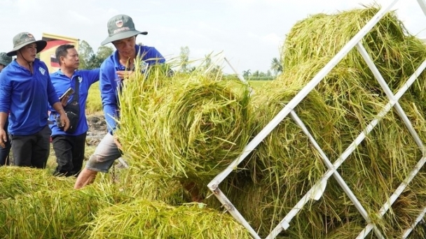
(VAN) Pilot models of the 1 million hectares of high-quality rice project have created major turning points in Mekong Delta farmers' thinking and action on production methods.
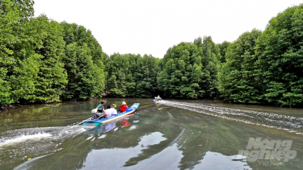
(VAN) Ca Mau's mangrove forests are home to rare species of flora and fauna. Beneath the silt-covered banks, the forests serves as a breeding ground for numerous aquatic species with high economic value.
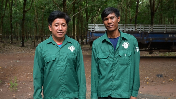
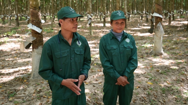
(VAN) Not only direct labor, the indirect management team at Phuoc Hoa Kampong Thom Rubber is increasingly seeing Cambodian personnel who meet the capacity requirements.
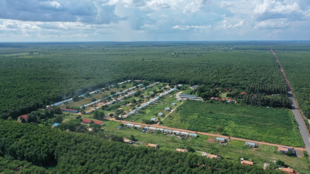
(VAN) From shifting cultivation, nomadic life and slash-and-burn farming, the Kuy people in Kampong Thong have now learned to settle down, working together to build a united, prosperous community under the shade of rubber trees.
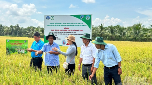
(VAN) The model participation in the 1 million hectares of high-quality rice initiative in Tra Vinh results in a yield of 6.3 tons/ha and additional profits of 5.6 to 7.6 million VND/ha.
