May 22, 2025 | 10:58 GMT +7
Hotline: 0913.378.918
![]()
May 22, 2025 | 10:58 GMT +7
Hotline: 0913.378.918
![]()
With its 254 kilometers of coastline, Ca Mau province possesses favorable conditions for an expansive range of economic activities. However, the province has been facing severe erosion of its riverbanks and coastlines for over a decade due to the influence of climate change and rising sea levels.
As of now, approximately 187 kilometers of the coastline have been eroded, and about 425 kilometers of riverbanks are at risk of erosion. Among the six locations recently identified as extremely dangerous erosion areas by the Ca Mau Provincial People's Committee, four of them, with a total length of over 20 kilometers, are located in Ngoc Hien District.

Riverbank erosion along the stretch from Khai Long to Dat Mui. Photo: Trong Linh.
Ms. Nguyen Thi Yen, whose residence is located in Cho Tho B hamlet, Tam Giang Tay commune, Ngoc Hien district, expressed deep concern as the relentless sea waves encroached on her home. Additionally, over 4 hectares of her shrimp ponds have been entirely swept away by these formidable waves. With over a decade of experience in aquaculture, the livelihood of Ms. Yen's family is threatened by the assault of the sea waves. She added that shrimp and crab farming are no longer a viable option due to the rapidity of these coastal onslaughts.
"Our shrimp ponds previously stretched out into the sea but the waves have completely destroyed them. We have no options for aquacultural production this year and the waves are approaching dangerously close to our homes. We hope that the government will promptly build protective embankments against the waves so that we can continue to live here," Ms. Yen shared.
The region extending from the Bo De estuary to the Lang Chao estuary, encompassing Tam Giang Tay commune in Ngoc Hien district, Ca Mau province, boasts a coastline of over 9 kilometers. The area recently witnessed a surge in the frequency and ferocity of tidal surges and relentless sea waves, which have encroached further onto the inland aquacultural production areas. During the span of a single night, shrimp ponds with an investment capital of at least 1 billion VND, owned by Ms. Tran Thi Van's family, were destroyed by the relentless force of the sea waves.
Ms. Van laments, "Our family has suffered severe losses, with nothing recoverable. The overwhelming sea waves left us with nothing."
According to local residents' reports, the state of coastal erosion along Tam Giang Tay commune has intensified since the beginning of June 2023. The sea waves have encroach on the mainland by 30 to 50 meters. Recent statistics show that five shrimp and crab farming ponds have been washed away by the waves, and 16 households have been directly damaged. As a result, five families were forced to relocate to other areas.

Ms. Yen pointing towards her family's shrimp farming ponds that were washed away by the waves. Photo: Trong Linh.
Mr. Bui Quoc Nam, Deputy Head of the Ca Mau province's Dyke Management Unit, emphasized that coastal erosion in the East Sea within the last ten years has become increasingly severe compared to the that in the West Sea. There are currently four extremely dangerous locations affected by coastal erosion in Vietnam, including the region extending from channel 5 O Ro to Khai Long, where the erosion is rapidly approaching to the Ho Chi Minh road. Without timely solutions in the immediate future, this erosion poses a significant threat to various infrastructure such as roads, electricity, and tidal prevention dams.
According to Mr. To Quoc Nam, Deputy Director of the Ca Mau province's Department of Agriculture and Rural Development, the Department is tasked with coordinating with local governments in the erosion-prone areas of Ngoc Hien, Nam Can, and Dam Doi districts in order to proactively respond to urgent erosion developments. Accordingly, the parties will establish safety corridors, deploy monitoring teams to track erosion developments, and strictly prohibit activities within affected areas. Furthermore, local governments will mobilize resources and implement necessary measures to mitigate the damage from emergencies.

Within the last ten years, Ca Mau province has lost a substantial amount of forested land due to erosion. Photo: Trong Linh.
"The most severe erosion occurs along the eastern coast, and we have submitted a proposal to the government for a relief package in the range of 900 to 1,000 billion VND. We expect to allocate at least 500 billion VND from the central budget. The remaining 470 billion VND will be requested as support from the central government for the highly dangerous areas. The other eroded sections are included in our plan for the erosion prevention project from 2026 to 2030," shared Mr. Nam.
Translated by Nguyen Hai Long
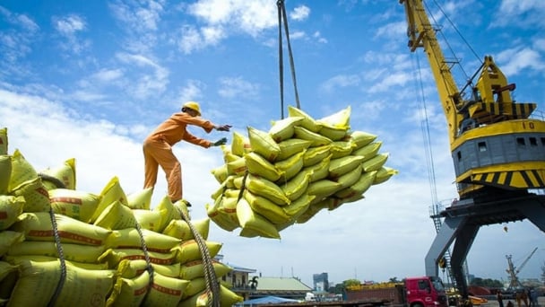
(VAN) The draft amendment to the Circular on rice export trading stipulates a periodic reporting regime for rice exporting enterprises.

(VAN) Dong Thap farmers attained an average profit margin of 64% during the summer-autumn 2024 crop (first season), while An Giang and Kien Giang farmers followed with 56% and 54%, respectively.
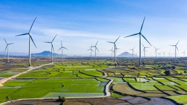
(VAN) As a doctoral student doing research on renewable energy and electrification at Harvard University, the author shares his musings on electricity, nature, and countryside memories.

(VAN) The decree on Extended Producer Responsibility (EPR) ensures transparent management and disbursement of support funds, avoiding the creation of a “give-and-take” mechanism.
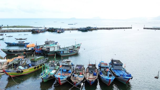
(VAN) Hue City rigorously enforces regulations regarding marine fishing and resource exploitation, with a particular emphasis on the monitoring of fishing vessels to prevent illegal, unreported, and unregulated (IUU) fishing.

(VAN) Hanoi People's Committee has issued a plan on reducing greenhouse gas emissions in the waste management sector with 2030 vision.

(VAN) Vietnam's draft amendment to Decree No. 156 proposes a mechanism for medicinal herb farming under forest canopies, linking economic development to population retention and the sustainable protection and development of forests.
